Open 7 days a week at 22 William Street in historic downtown New Bedford


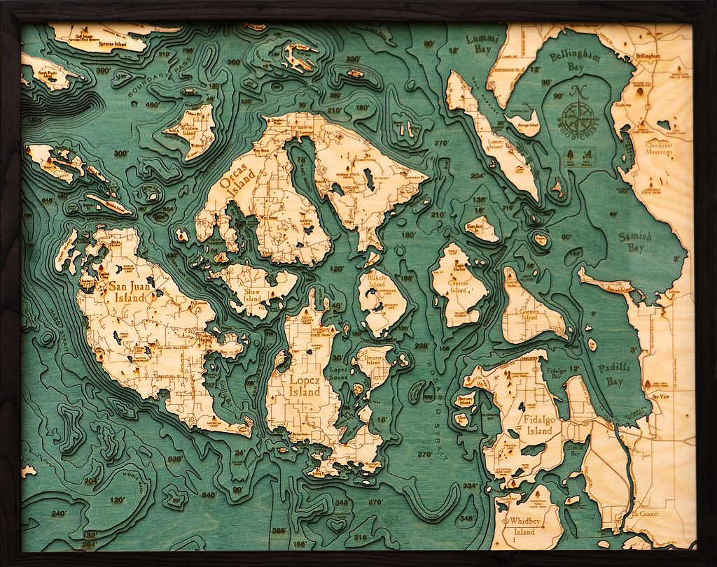
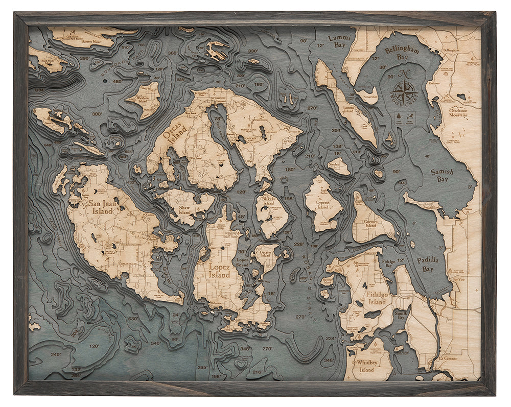
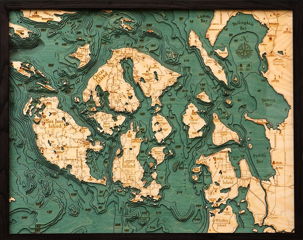
A 3-D nautical wood map featuring the San Juan Islands, in Washington State. It measures 24.5" x 31".
The San Juan Islands are the pinnacles of a submerged mountain range that connects Vancouver Island with the mainland. They're a tidal-gateway between the open ocean and the Gulf of Georgia to the north. Because of this, heavy tide-rips are common in many of the island's inner channels. If it weren't for the interference caused by these tide-rips, the islands exposed shorelines would suffer from significant erosion during winter storms. Instead, erosion is most dramatic only during slack tide and high-water wave-cuts are visible on many of the islands exposed shorelines.
Points of Interest:
San Juan Island, Orcas Island, Lopez Island, Whidbey Island, Bellingham Bay, Lummi Bay, Boundary Pass, Padilla Bay, Samish Bay, and Fidalgo Island.
Our wood charts are made from Baltic birch and have a solid wood frame. They come ready to hang.
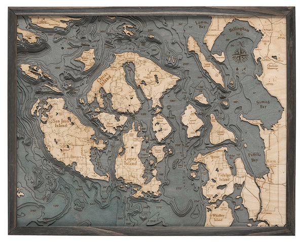
NOW AVAILABLE IN 3 FRAME STYLES! Choose between our classic, dark brown frame, farm frame, or our new grey frame.
Love this product? Login to your customer account and add it to your wishlist!
It all starts with an idea, full of potential, and ready to be transformed. Let's discover what we can create together.
Sign up for our monthly newsletter, The Sketchbook.
