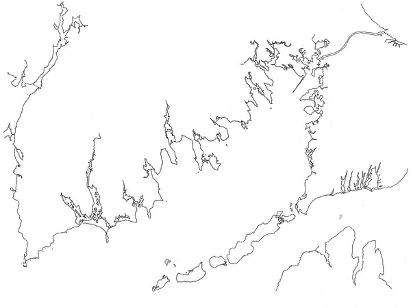
This body of water has many stories to tell. From Little Compton, RI to Wareham, MA, Buzzard's Bay is a body of water that we all love.
From our friends at Wikipedia.org "Buzzards Bay is a bay of the Atlantic Ocean adjacent to the U.S. state of Massachusetts. It is approximately 28 miles (45 kilometers) long by 8 miles (12 kilometers) wide. It is a popular destination for fishing, boating, and tourism. Since 1914, Buzzards Bay has been connected to Cape Cod Bay by the Cape Cod Canal. In 1988, under the Clean Water Act, the Environmental Protection Agency and the Commonwealth of Massachusetts designated Buzzards Bay to the National Estuary Program, as "an estuary of national significance" that is threatened by pollution, land development, or overuse."
These wood burned maps give you an opportunity to bring your love of Buzzard's Bay into your space.